December 20
I arrived at Panther Junction at 8:30 AM, having started from Fort Worth at 9 PM the night before. I stopped for a power nap a couple of times along the way.
I went into the Panther Junction office to get my permits. I immediately had trouble with this female ranger who asked me to put the bandana I was used for a mask over my nose. She would not approach to within six feet of me until I did. I thought that was ridiculous. I was more upset by her stupidity than by the mask.
I told her the best mask you can use has a porosity of 3 microns. The virus is less than .1 microns. So, 30 viruses can go through one pore of your mask. I told her the infection rates in states with mask mandates is the same as states without mask mandates. I told her vaccinated people are still getting the virus, even with one or two "boosters." I told her vaccinated people can still transmit the virus. I told her the mortality rate is 99.8%.
Did it make a difference? Of course not.
It is often asked how ordinary German citizens could allow and participate in the atrocities the Nazis perpetrated. Well, this is how: when people forego reason, rationality and skepticism and blindly accept what the government says.
Voltaire said "Certainly anyone who has the power to make you believe absurdities has the power to make you commit injustices."
In Australia there are COVID camps. And now New York state is debating establishing those.
Freedom must be zealously defended.
But enough. Back to Big Bend.
I got a permit for a three-day hike in the Quemada. I planned to do a loop from the Dodson at Homer Wilson to Smoky Creek, to Fisk Canyon, to Dominguez Spring on the first day. The second day I would cross to Elephant Tusk Trail on the Dominguez Mountain Trails, then go up a little and cross over to the Lower Water Works, then go up the Water Works to the Dodson, in the drainage West of Elephant Tusk Trail. The third day I would return to Homer Wilson.
I lucked out and got the last campsite in the Chisos Basin for the night.
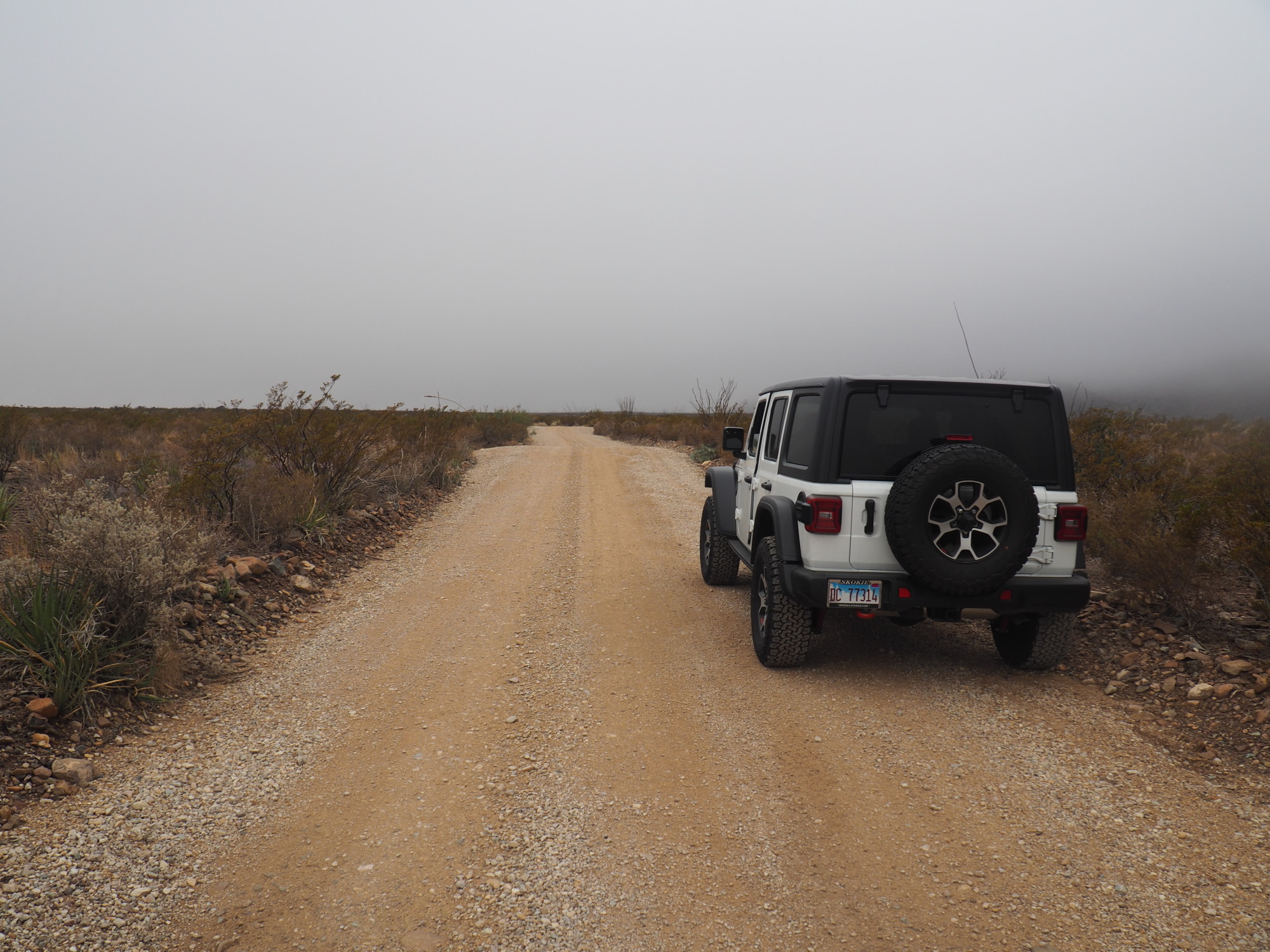
For the first day I planned to drive the Black Gap trail in my new Jeep Wrangler Rubicon Unlimited. This would be my first Jeep trail. Black Gap is a Jeep rated trail, marked as difficulty 5 (out of 10).
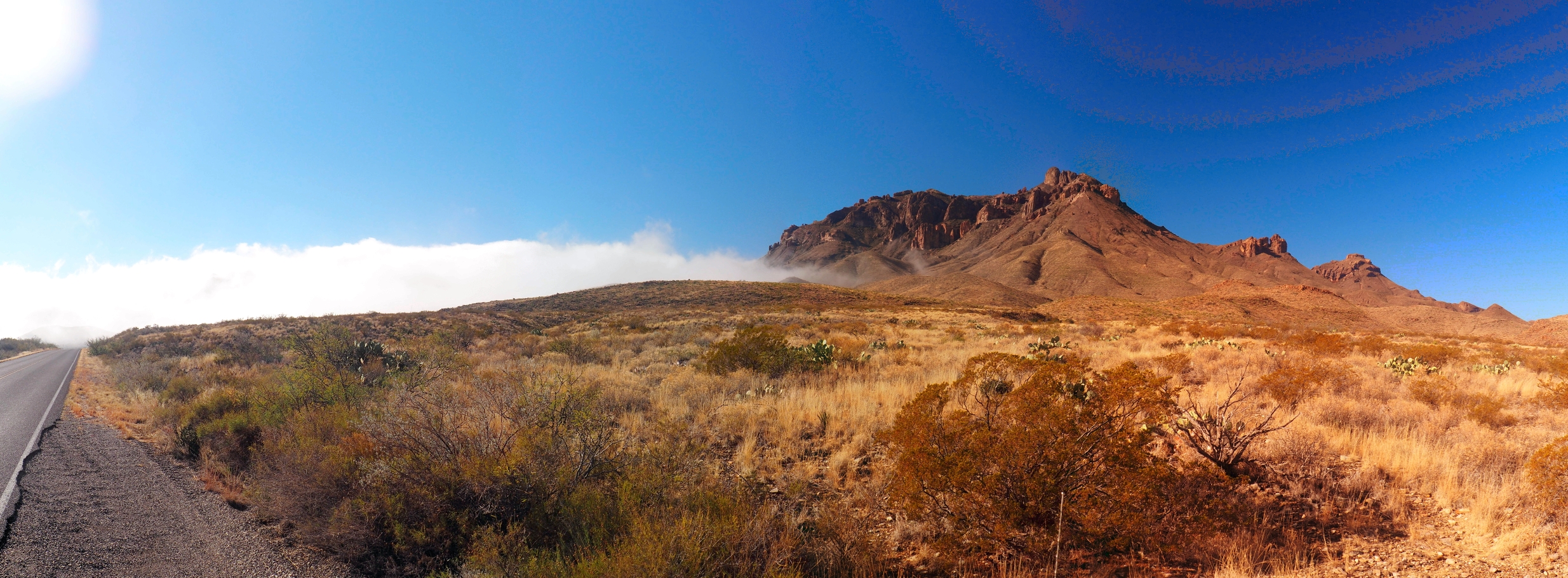
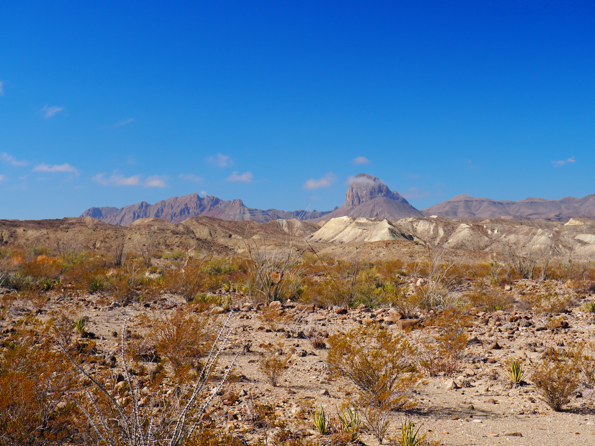
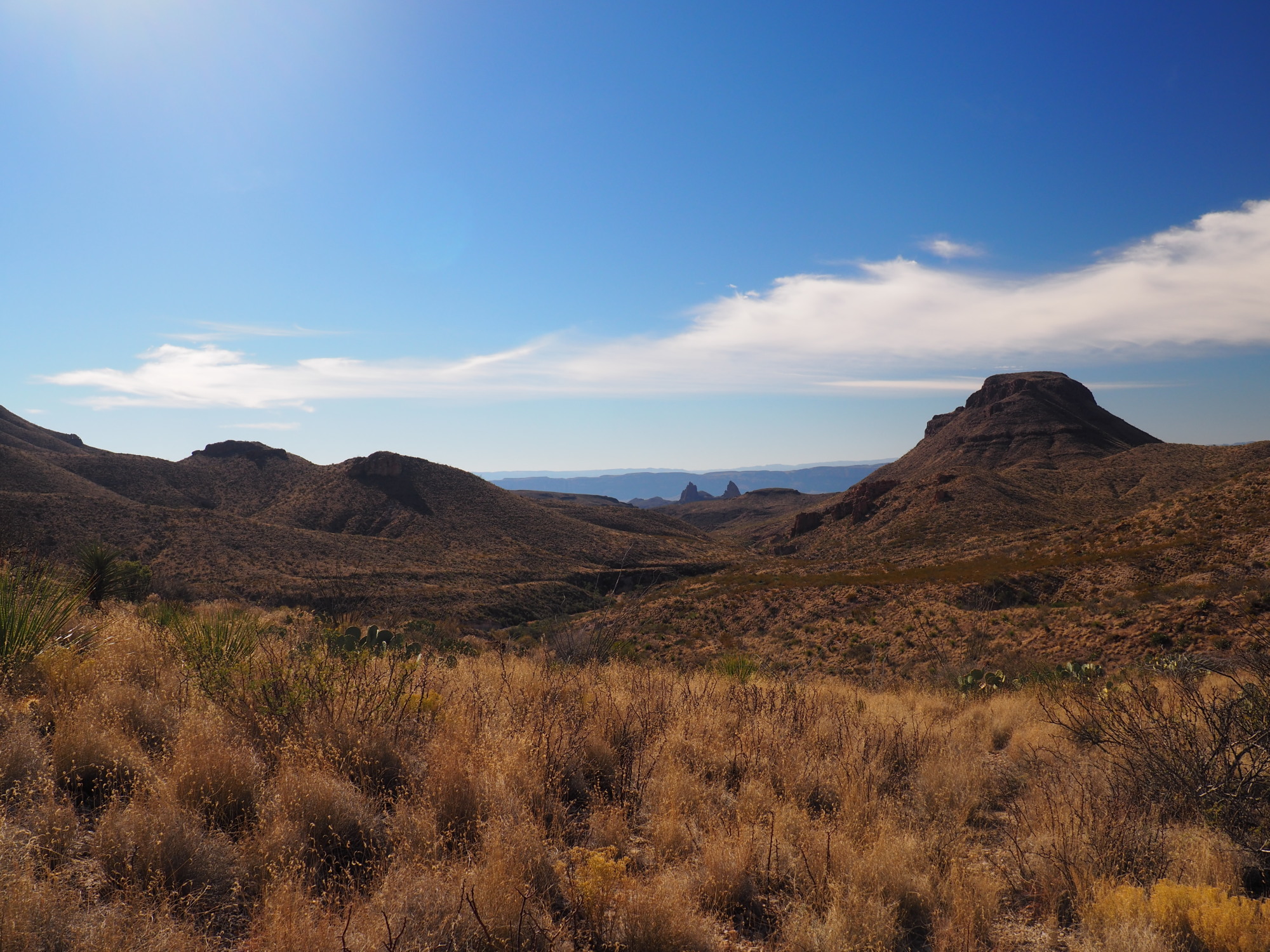
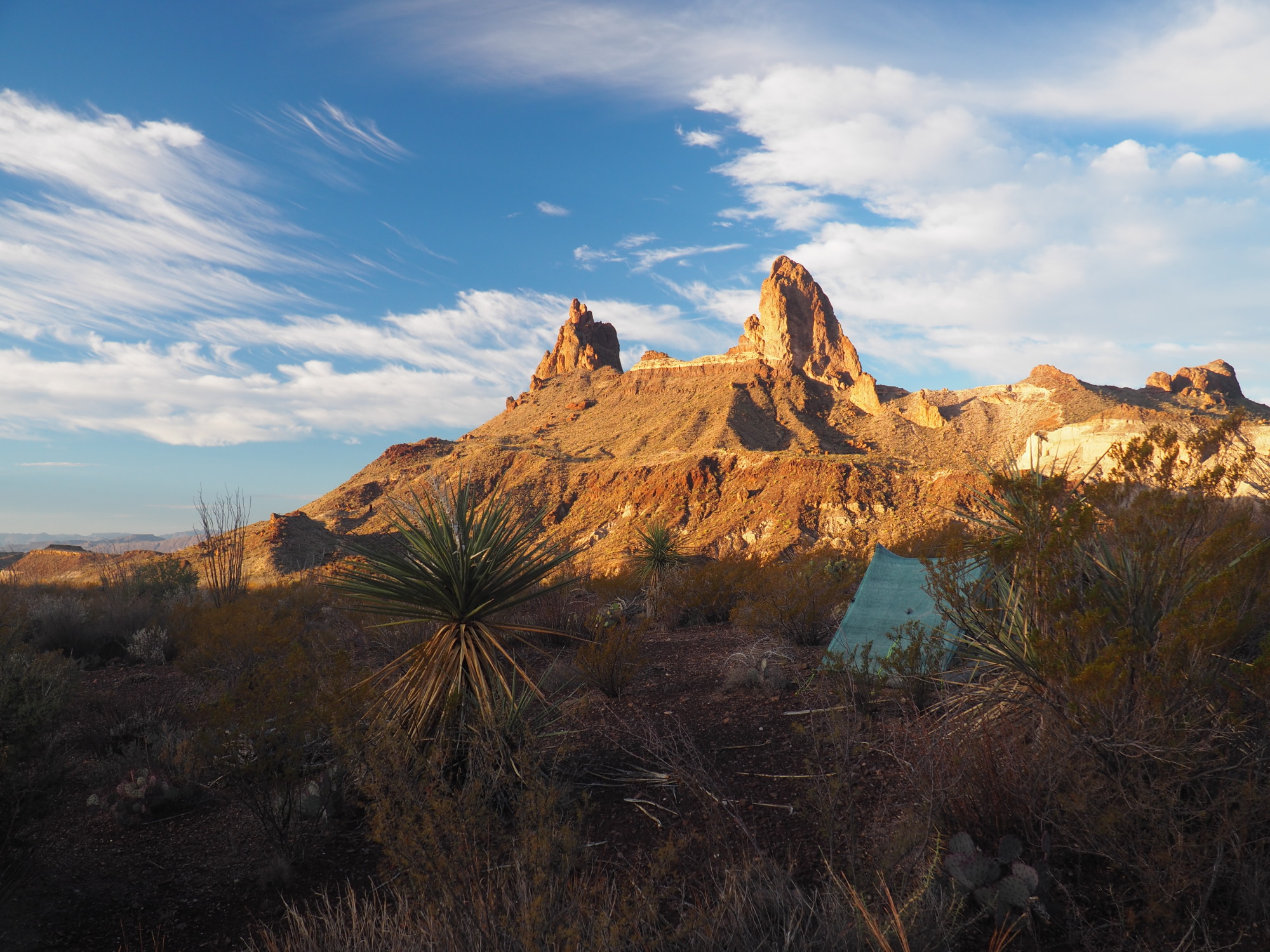
I started driving toward Glenn Springs Road. On the way there I saw this remarkable cloud formation being pushed by the wind and it was engulfing Nugent Mountain.
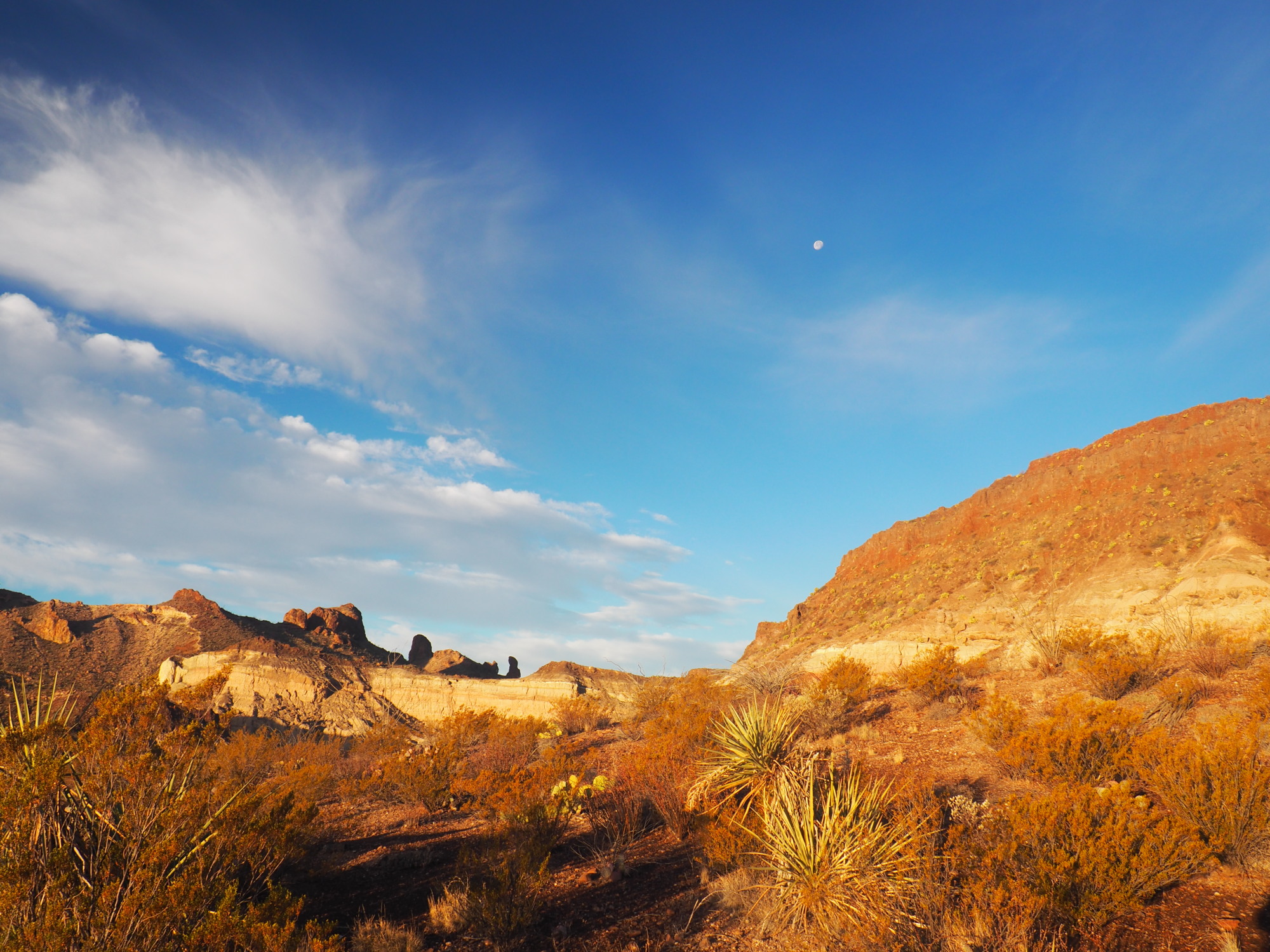
I made it to Glenn Springs Road, pulled in and stopped for a couple of photos. Another Jeep pulled in behind me. It was a couple from Texas and they were also doing Black Gap Road. I struck up a conversation with them, got some advice, being a novice. They aired down their tires and asked me if I would do so. They said they had a compressor. I also had one. I told them I would not air down just to see what it felt like.
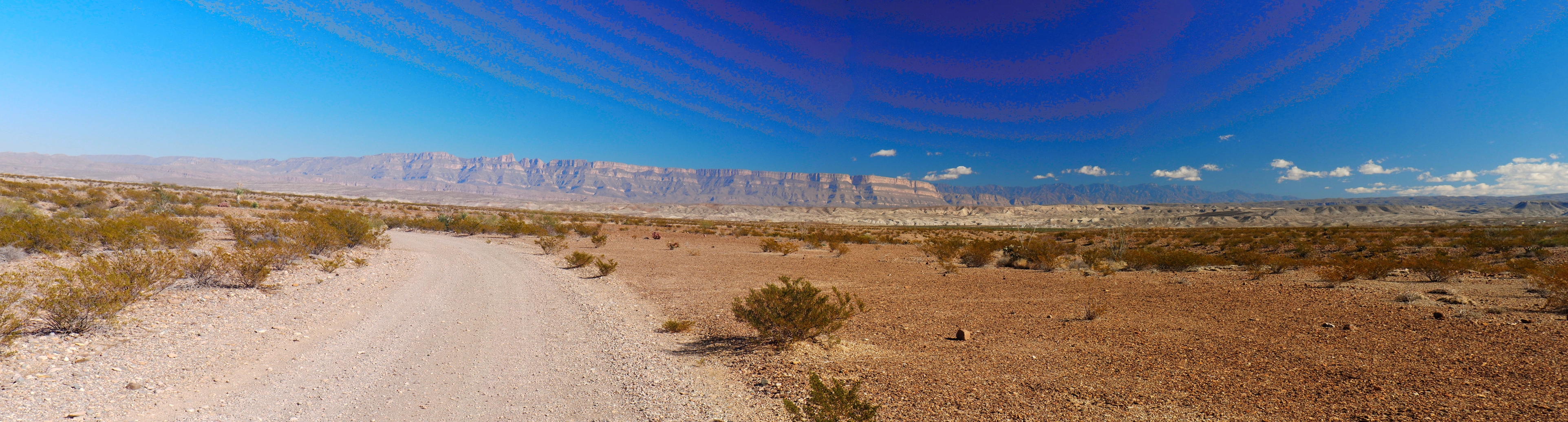
Glenn Springs Road is down hill for most of the way until it meets River Road East. My Rubicon is a standard, so I put it in neutral and coasted most of the way down. The couple from Texas was behind me.
I stopped for several photo ops as I made my way to Black Gap, and the Texas couple passed me at one of them. They were only a minute or so ahead of me. I arrived at Black Gap and found them there, ready to go.
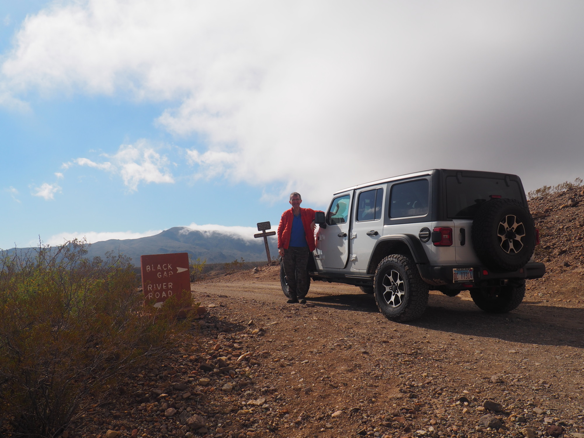
We photographed each other. I checked in using the Jeep Badge of Honor App. At the end of the trail I would check in again, and this would confirm I had driven the trail.
The Texas couple started in 4-Low. I started in 4-High at the start of Glenn Springs Road. I stayed on 4-High for the moment. I wanted to feel it out, this being my first time.
Black Gap Road begins with about a 150 foot stretch following by a 45 degree left turn into a steep descent. This was quickly followed by a section flooded from Glenn Spring, with vegetation about 10 feet tall. This green tunnel was about 200 feet long.
There are a couple of portions of the trail early on where it is inclined about 15 degrees or so, with a drop on the driver's side. It was thrilling driving those.
Shortly after those inclines, I switch to 4-Low. But I did not disconnect the sway bar, and neither did the Texas couple, as it was not necessary to do so for this trail. I also did not lock the wheels, as it was also not necessary.
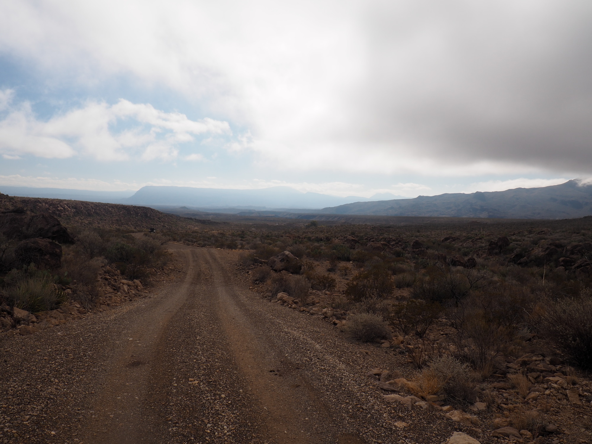
The trail is rocky at parts, smooth at parts, and goes in and out of washes.
The most challenging part of the trail is the climb over a ledge. It looked scarier than it actually was, and taught me, a blundering novice, about the capabilities of the Rubicon. I just put it in first gear and pressed the gas, it did all the rest. In fact, I pressed the gas pedal too hard, it did not need that much.
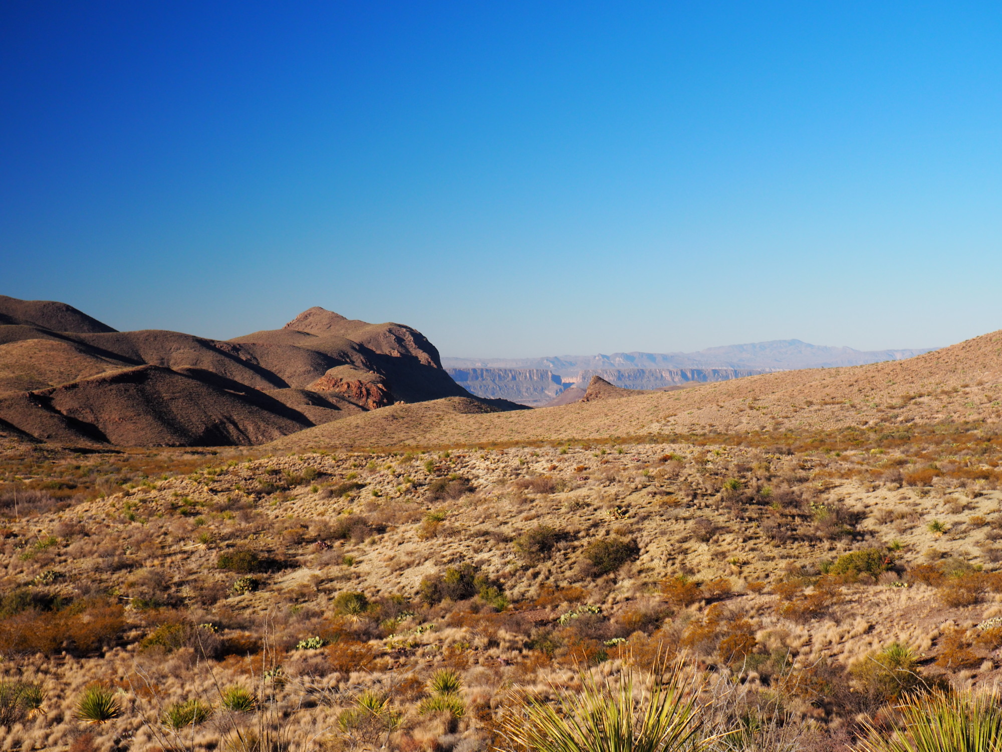
After the ledge it was pretty easy going. All along the trail there are amazing vistas not seen from other vantage points in the park.
We finished Black Gap in one hour and twenty minutes. I checked in and got my first Jeep badge of honor.
The Texas couple had planned to drive River Road West to Santa Elena Canyon. It was about 1:10 PM. I suggested they do Mariscal Canyon instead, since they already had covered most of the distance to get to it, and it was only about 8 miles away. They could easily drive to Santa Elena and Boquillas canyons on another day. I advised them to exit using River Road East after they were done.
We said our goodbyes and I headed out on River Road East to Rio Grande Village. The first thing I did was take a shower. Then I made myself some food, tailgating.
I remained at Rio Grande Village until 7 PM, then went to the Chisos Basin campground.
December 21
I got up at 6:15 AM, struck camp, made a breakfast and then headed out to Homer Wilson. I arrived at 7:35 and hit the trail at 7:50.
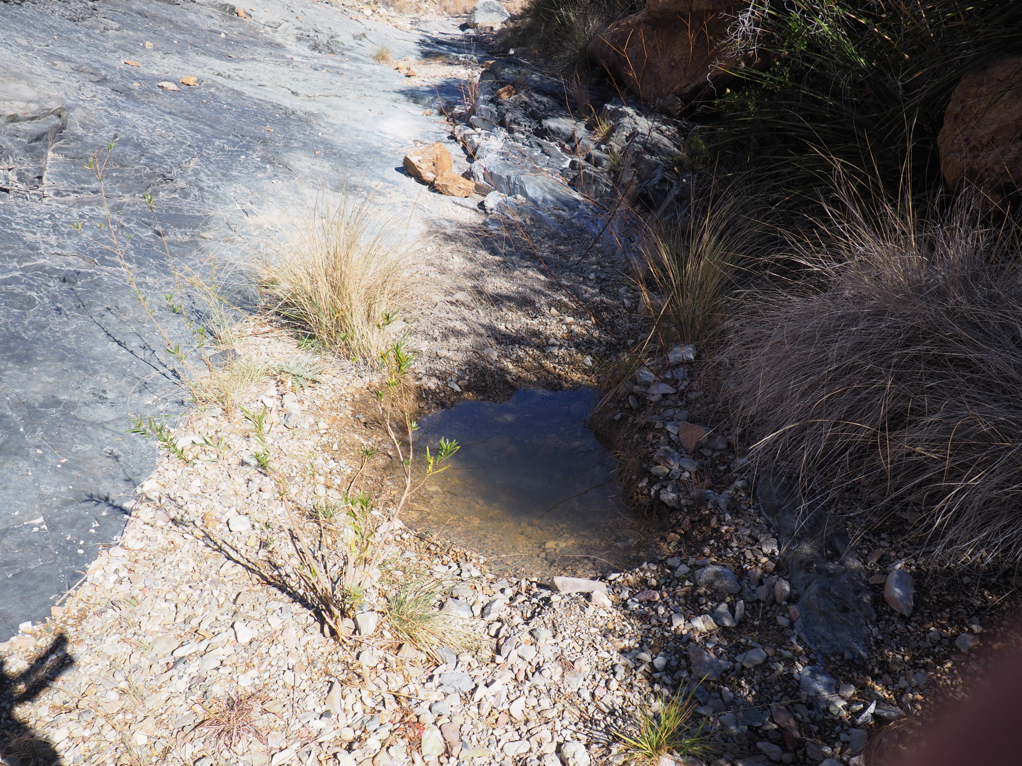
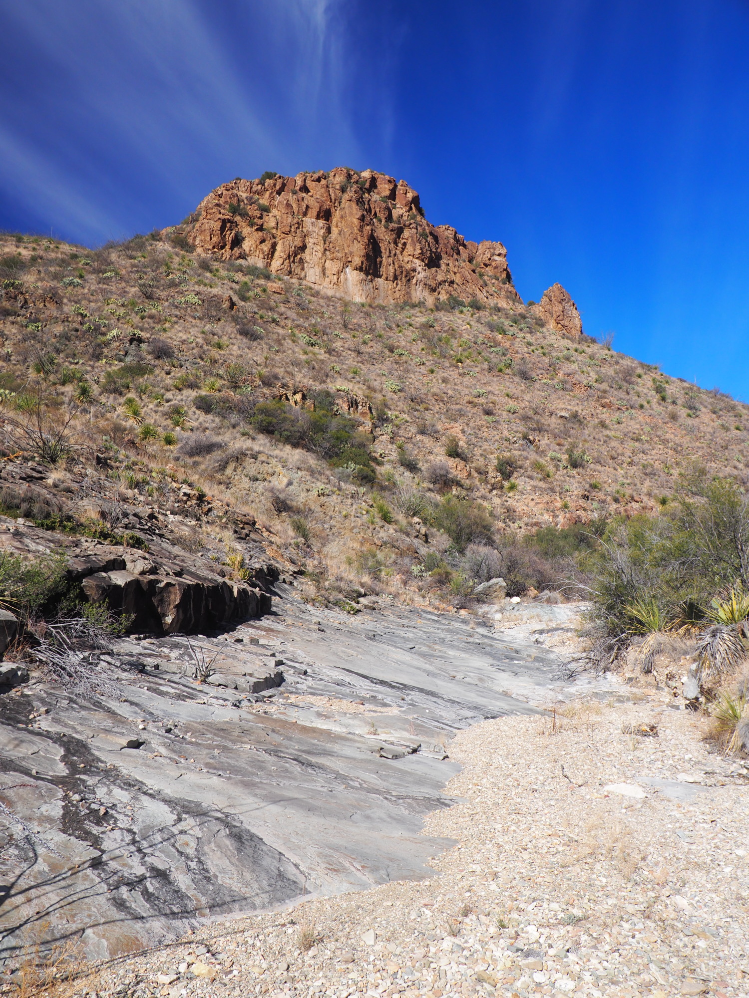
There was a lot of dampness in the surface soil as I walked down to the Homer Wilson home. I hit the Dodson and marched to the unknown known. I reached the wash and followed it until the Dodson veered to the left and climbed. There I found Tinajas with water. It was a good omen.
I was concerned about the stock market because it had lost around 4% last week, and it kept nagging me as I hiked. I have a retirement account which I manage and I was considering selling all positions and just keeping it in cash, to avoid a precipitous market drop. When I reached the high point before the descent to Smoky Creek I found mobile coverage and checked, and to my relief the market was up 1.5%. This eased my mind and I resolved not to think about it again.
As I descended down to the Smoky Creek junction, I made note of the campsites there for the return journey. I reached the junction and made a right turn and started down Smoky Creek. It was damp soil and I encountered Tinajas with water almost immediately. I also saw relatively fresh (1-3 days) bear scat and a lot of it as I walked down Smoky Creek.
As I walked down the creek I found many tinajas with water.
I reached Slickrock Spring and found a clear pool of water. As the spring is supposed to be right on the trail, I assumed this was it. There was no algae and the water looked fresh, so I concluded this is a pool constantly refreshed by the spring.
I continued walking down the creek. I reached Taza Spring and found it dry.
I assumed the Smoky Creek trail follows Smoky Creek. There is no reason I should have assumed that. Shortly after Taza Spring I came up to a human made rock barrier across the creek which told me the trail did not continue on the creek. I saw a cairn to the left and followed it. The trail was thick with vegetation and it was a difficult bushwhack for about thirty feet. It cleared after that for a while as it climbed. When it got to a flat expanse the vegetation became thicker.
After a mile or so it descended to a Creek (not Smoky) and reached an unnamed spring, which was dry.
I walked down the creek toward Witch Spring, missing the trail as it exited left and up. Witch Spring was flowing. I retraced my steps and followed the trail as it left the creek again. At the top the bush was overgrown and major portions of the trail were missing. I relied on my GPS navigator to generally go in the right direction. I knew from studying the topographic map the trail followed the ridge until it descended into a creek (again, not Smoky).
At this point I had been poked and pricked and stabbed so much I swear I had lost a pint of blood, this is despite that fact I was wearing long pants and sleeves.
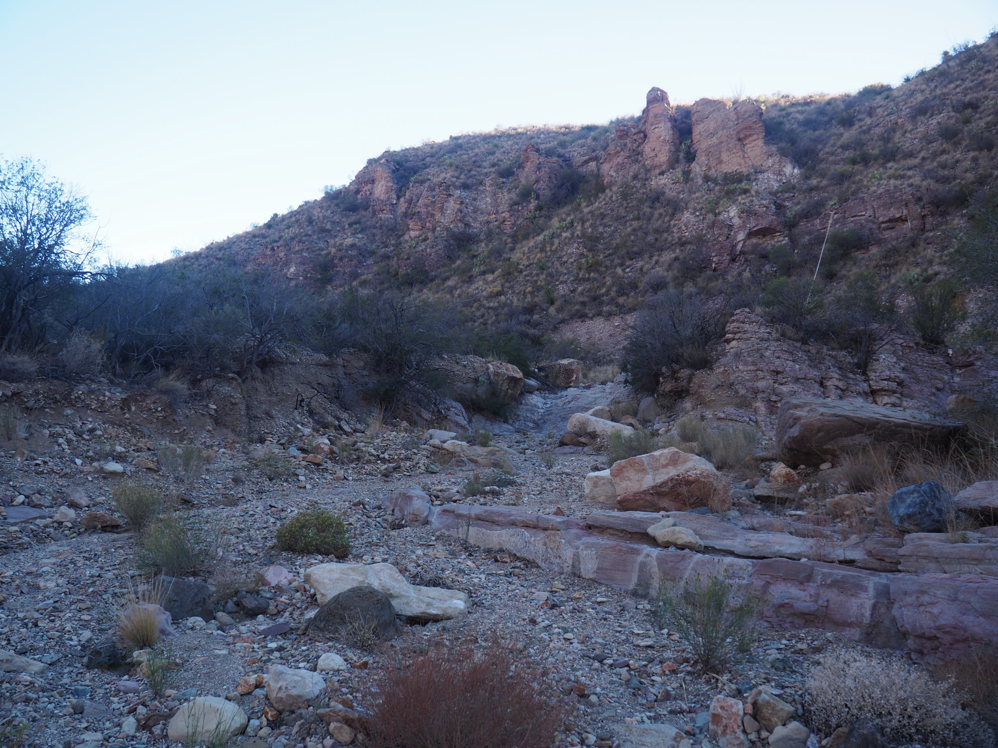
The trail descended to a creek about 50 feet from Fisk Canyon. I walked to Fisk Canyon and turned left and began the final leg toward Dominguez Spring.
I walked about .8 miles and hit a pour-off. I studied it carefully and saw no way to get up and around it. This is where I made a mistake. I had the GPS track for Fisk Canyon on my phone, but it did not occur to me to check it. Had I done that, I would have seen the trail climbs to the left about 350 feet before the pour-off. I can only say that I was a bit tired at that point and that perhaps clouded my thinking.
There were two options: Plan B was to go back up Smoky Creek, Plan C was to go down the trail to the Mule Ears trail and exit there, and hitch hike back to Homer Wilson.
I hate going back and I hate going back when it is uphill and full of overgrown bush. So, Plan C it was!
I walked back to the Smoky Creek trail, hung a left and started walking. It was five miles to the Mule Ears trail head.
I shortly reached Hermosa Spring A, which was dry, and shortly after that the trail left the creek again, climbing to the right up a small drainage. The trail was completely lost going up this drainage, and the bush was very thick. It was a very difficult climb.
I made it to the top and walked about half a mile before the trail descended into Smoky Creek proper, just before Lizard Spring, which was dry.
After I finished the hike, I studied the map and found that if you continue walking down Smoky Creek and not leave it, you would reach this point near Lizard Spring. So why does the trail not stay in Smoky Creek proper? Has anyone done that?
The worst parts of the hike were when the trail left the creeks. The trail conditions outside of the creeks were terrible.
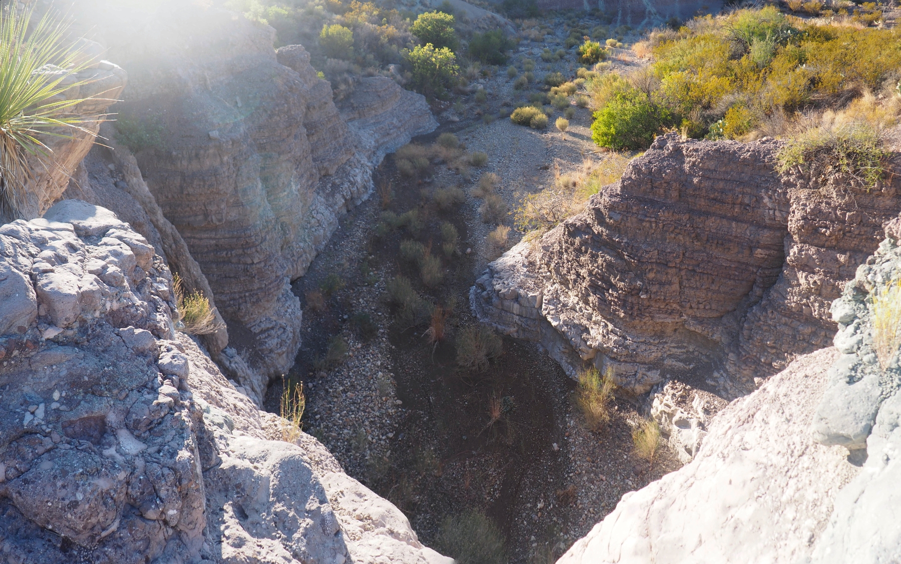
I walked down the creek for a little over a mile and came to this large and magnificent pour-off. This was a highlight of this trail. About half a mile after that I reached Rhyolite Spring, which I could not determine if it was flowing, and the unnamed spring right after Rhyolite, which was flowing. I found Willow Spring about .3 miles later, but I could not tell if it was flowing, but the tinajas there had water.
I made it to the Mule Ears trail junction at about 5:30. I hiked up Mule Ears trail for about a quarter of a mile and found a nice flat spot and setup camp. I had a cold dinner of Packit Gourmet mesquite chicken salad, which was delicious, and hit the sack.
December 22
I woke up at about 7:30, struck camp, then had breakfast, coffee and a cherry pie. I snapped a few pictures and hit the trail at about 8:15. I had done Mule Ears Trail before so I made good time. Mule Ears Spring was flowing, of course. I arrived at the trail head around 9:45. There were a lot of people there. I rested for a few minutes then started walking toward Ross Maxwell Drive.
An Indian couple stopped and asked me if I was alright. I thank them and said yes, I am just walking to my car at Homer Wilson. The told me they were heading to Costolon. I had the feeling they would have given me a ride had I asked them as they were very nice, but I did not because they were going in the opposite direction.
I arrived at Ross Maxwell and sat there waiting for cars to pass by. Two other cars from the Mule Ears trailhead, also Indian couples, asked me if I needed help; they were also going to Costolon. A couple of cars from Mule Ears were going to Panther Junction but they did not give me a ride. One was a female runner whom I passed on the trail, and who had not said hello in response to my greeting her. She was nasty and gave me a stern shaking of the head as I pointed my thumb asking for a hitch hike. Several cars coming from Costolon did not stop.
I waited for thirty minutes until 10:30 and then started walking. I walked about a mile, during which two cars had passed without stopping. Finally, a Chevy Silverado pickup truck stopped, and it had an elderly couple who were volunteers working in the park. They asked me if I was alright, I said yes, I am walking to my car at Homer Wilson and asked them for a ride. They agreed but on condition I sit in the bed of the truck. I said no problem and off we went.
Upon reaching Homer Wilson the man asked me about why I was walking. I told him I had to exit the hike. Before I could explain why he interjected and accusingly said "because you made a wrong turn?" I gave him a very detailed account which went over his head, as he was not familiar with many of the places in my itinerary.
I got in my car and drove to Rio Grande Village, where I showered, had lunch, then planned my next step. I decided to end my Big Bend trip and go to Arizona, where I had planned several activities involving wheeling and visiting hot springs. Arizona has two Jeep rated trails and I completed both of them.
I stopped at Dugout Wells, which I had never seen, oddly enough, in my previous ten visits to the park. I also stopped at Nina Hannold's grave, which I also had not seen before. I found bear scat on the trail from 385 to the information display, but not on the trail to the grave itself. This 4 miles from Panther Junction. I wonder how far into the desert the bears go.
Thus ended my terrific 11th visit to Big Bend.
Now to plan visit #12.